| |
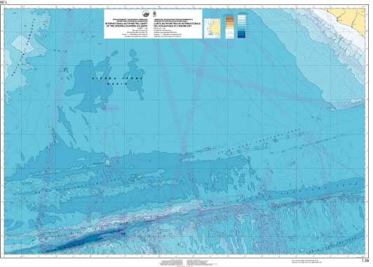
Carte Bathymétrique Internationale de l'Atlantique du Centre-Est |
FEUILLE IBCEA 1-09

| Préparateur | France: Service Hydrographique et Océanographique de la Marine (SHOM) |
| Producteur | France |
| Membres du Comité d'édition | IGA (CR) André ROUBERTOU; Michel Le GOUIC |
| Limites géographiques | 10°00' W to 20°30' W, 0°31' S to 06°40' N |
| Statut de la feuille 1.09 | Compilation achevée; vectorisée; carte publiée en mars 2001. |
| Retour à la Page d'accueil IBCEA |
Maintained by the National Centers for Environmental Information (NCEI)
and the collated World Data Service for Geophysics