, formerly the NOAA National Geophysical Data Center (NGDC)")
|

|
Core Data from the Deep Sea Drilling Project
Geographic areas in which DSDP data were collected:
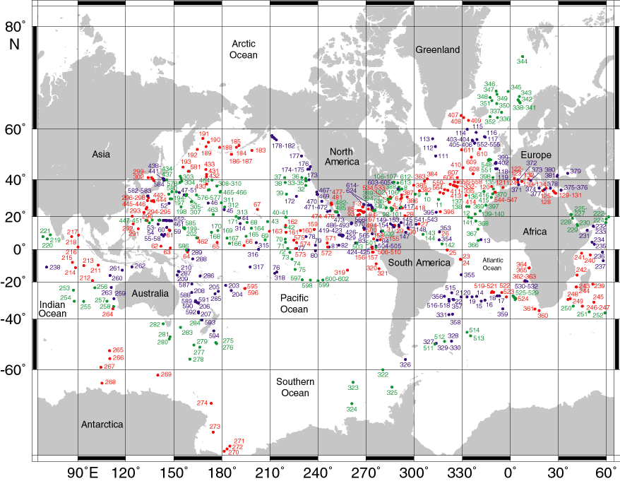
View DSDP world site map produced by ODP/TAMU (.gif)
|
Geographic areas for individual sites/holes were derived from the site summary data file produced by the DSDP. Choose a geographic area to display a map of the area (including some overlap with surrounding areas) showing sites in (and around) the area as red dots, as well as a tabular list of sites/holes. The map is a clickable imagemap. Due to the overlapping nature of hole locations on the map, the tabular list is more accurate, containing all holes within the geographic area. Not all holes shown on the map will appear in the list; this is because holes close to but not strictly within the named geographic area may be shown on each map. When you select a hole from the list or map, more information and links to all available data for the hole will be displayed. Links to additional holes at the same site and to sites adjacent to the hole selected will also be shown. Cite as: Deep Sea Drilling Project (1989): Archive of Core and Site/Hole Data and Photographs from the Deep Sea Drilling Project (DSDP). National Geophysical Data Center, NOAA. doi:10.7289/V54M92G2 [access date]
Please see NOAA's privacy and disclaimer information. Send questions or comments to mgg.info@noaa.gov.
|